الوضع الليلي


 12:29:9
  2025-10-29
  1494
1494
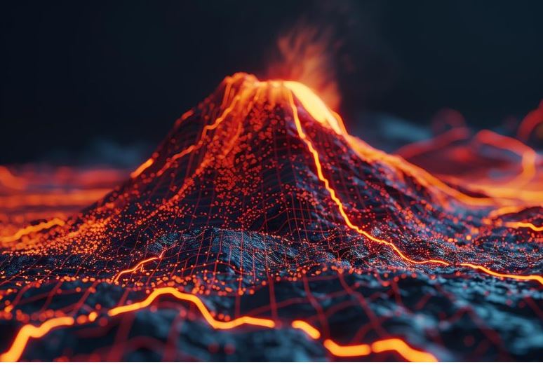
Pressure waves from the colossal 2022 Tonga eruption rippled through Alaska’s crust, offering scientists a rare look into the state’s deep subsurface.
Atmospheric waves from a powerful volcanic eruption in the South Pacific in 2022 produced seismic vibrations that reached depths of at least 5 kilometers beneath Alaska. This extraordinary event gave scientists a rare chance to explore the state’s deep subsurface using an unconventional approach.
Ken Macpherson, a researcher at the University of Alaska Fairbanks Geophysical Institute, and his team studied how atmospheric pressure waves interacted with the ground to measure the speed of seismic waves moving through Alaska’s upper crust.
By comparing the strength of the air pressure waves with the resulting ground motion, the researchers were able to infer characteristics of the underground materials, such as their stiffness, which influences how quickly seismic waves travel.
Picture blowing across a bowl of Jell-O and then doing the same over a pan of brownie batter with the same force. The Jell-O would wobble, while the brownies would barely move because the material is stiffer.
“Hunga-Tonga’s pressure waves have provided us much more information about how seismic waves propagate in Alaska,” Macpherson said.
Macpherson’s research on seismic velocity to depths of 30 meters (100 feet), 2 kilometers (1.2 miles), and 5 kilometers (3.1 miles) was published in the journal Seismica.
The eruption
The explosive eruption of Hunga Tonga–Hunga Ha’apai volcano, in the Kingdom of Tonga and about 6,000 miles from Alaska, occurred on Jan. 15, 2022. The eruption’s atmospheric waves were the largest known from a volcano since the 1883 Krakatau eruption.
“Hunga Tonga was an unprecedented explosion in the instrument age,” said Macpherson, who is with the institute’s Wilson Alaska Technical Center. “Those pressure waves shook Alaska, 6,000 miles away, which I just think is so remarkable. And many of those were long-period waves and consequently shook Earth to a great depth.”
A network of 150 co-located barometers, infrasound sensors, and seismometers in Alaska recorded the eruption’s data used in Macpherson’s research.
Gaining information via air-to-ground coupling at a depth of 5 kilometers is uncommon. That’s because seismic waves produced through coupling usually have a shorter wavelength — unless the power source is something really, really big.
“Because the Hunga explosion was so enormous, the pressure waves that traveled the long distance to Alaska were still powerful enough to shake the Earth, and were therefore ideal for a coupling study,” Macpherson said.
Air-to-ground coupling
How does an atmospheric pressure wave shake the ground? And how can it rattle the ground 5 kilometers below the surface?
Powerful pressure waves from a volcanic eruption or explosion create rapid changes in air pressure as they travel through the atmosphere. When these pressure waves contact the ground, they push and pull on the surface in a process called air-to-ground coupling that transfers energy into Earth’s interior.
The energy transfers through a process described as Newton’s Second Law, which states that an applied force causes particles to move by overpowering their inertia. That particle motion creates seismic waves containing mechanical energy in two forms — kinetic energy from the moving particles and elastic energy from the crust’s temporary deformation as the wave passes through.
Waves of information
The velocity research can be an additional tool for seismic hazard analysis because wave speed affects the level of ground motion.
“If a propagating wave is in deep material and going fast but suddenly hits a softer material, the conservation of energy says, ‘Well, I’m going slower, but I still have the same energy,’” Macpherson said. “That means amplitudes get bigger, causing stronger shaking.”
“Just knowing those upper crustal velocities is good for seismic hazard analysis,” he said. “It’s [also] good for network operators like the Alaska Earthquake Center because they can accurately apply the crustal velocity beneath a particular seismic station to potentially increase earthquake location accuracy.”
Macpherson’s work can also be particularly helpful in tomography, a technique seismologists use to create three-dimensional images of Earth’s interior by analyzing how seismic waves travel through different materials. Tomography reveals variations in properties such as density or velocity, helping scientists map the deep subsurface.
“To do tomography properly, you have to do what’s called a crustal correction because velocities in the upper crust are so much different from those deeper velocities that you’re trying to get at,” he said. “If you know something about the crust, you can apply a correction that improves tomography for tens to hundreds of kilometers.”
Reality Of Islam |
|

Modern comp

With im
A Sahara De
 9:3:43
2018-11-05
9:3:43
2018-11-05
10 benefits of Marriage in Islam
7:5:22
2019-04-08
benefits of reciting surat yunus, hud &
9:45:7
2018-12-24
advantages & disadvantages of divorce
11:35:12
2018-06-10
6:0:51
2018-10-16
6:28:21
2022-12-20
8:30:23
2022-03-03
6:14:17
2018-06-21
4:25:57
2023-02-11
4:26:43
2022-02-21
8:15:37
2023-02-16
3:18:29
2022-12-24
5:41:46
2023-03-18
| LATEST |
 HOME
HOME