آخر المواضيع المضافة

 النبات
الحيوان
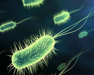
الأحياء المجهرية
علم الأمراض
التقانة الإحيائية
التقنية الحيوية المكروبية
التقنية الحياتية النانوية
علم الأجنة
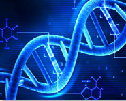
الأحياء الجزيئي
علم وظائف الأعضاء
الغدد
المضادات الحيوية
النبات
الحيوان
الأحياء المجهرية
علم الأمراض
التقانة الإحيائية
التقنية الحيوية المكروبية
التقنية الحياتية النانوية
علم الأجنة
الأحياء الجزيئي
علم وظائف الأعضاء
الغدد
المضادات الحيوية| Remote Sensing |


|
|
Read More
Date: 14-10-2015
Date: 16-10-2015
Date: 28-10-2015
|
Remote Sensing
At its simplest definition, remote sensing is obtaining information about an object by a device that is not in contact with the object. In ecology remote sensing usually involves sensors on satellite platforms or airplanes. Most devices have a series of sensors that record the intensity of electromagnetic radiation in particular segments of the spectrum for each point, or pixel, in an image. These sensors are designed to collect data in the visible wavelength as well as in other portions of the electromagnetic spectrum (such as the infrared region) that are needed to examine specific aspects of the physical world.
In addition to collecting data from a large part of the electromagnetic spectrum, remote sensing systems collect data over large areas. For instance, the U.S. Landsat satellites record continuous data over an area 71.4 square miles (185 square kilometers) wide. Since some satellites have been in orbit since the mid-1970s scientists can effectively “collect data” from this time period. Therefore, remote sensing offers scientists a wide spectral, spatial, and temporal data range.
For remote sensing to be of use to ecologists the spectral data must be related to some ground-based measurement such as land cover type or vegetation characteristics (biomass or net primary production, evapotranspi- ration rates, water stress, vegetation structure). Most work in ecology is done at the scale of a small plot, or piece of a field or forest. It can be difficult to extrapolate these small-scale measurements to larger, heterogeneous areas. Because sensors record continuous data over large areas, remote sensing can be used to “scale-up” plot-based measurements to examine landscape or even regional patterns. For example, ecologists have used remote sensing data to determine the rate at which rainforest in Brazil is being converted to agricultural land. In North America, scientists using satellite data have determined that one of the most endangered ecosystems, the tallgrass prairie, is being replaced by woody vegetation at an alarming rate.
Another set of questions that can be addressed with remote sensing data involves landscape heterogeneity. In these analyses, any of a number of spatial statistics can be applied to the original spectral data. Also, the original bands can be recombined to create indices. The most common of these is the Normalized Difference Vegetation Index, a ratio of red to near infrared bands, which has been useful in quantifying vegetation in numerous locations around the world.
Spectral data can be analyzed directly (total infrared reflected) or a classification can be performed on the data. With this method, the spectral data are analyzed and each pixel is assigned to a land cover type: forest, grassland, or urban. For instance, forests reflect less infrared than grasslands. These land cover data can then be incorporated into a Geographical Information System (GIS) for further analysis. A GIS is a computer-based system that can deal with virtually any type of information that can be referenced by geographical location.
Once the land cover types are identified and GIS coverage is generated, additional data such as soil type, elevation, and land use history can be entered into the GIS. Ecologists can then ask questions about landscape-level patterns such as the average patch size of a certain land cover type or its dispersion across the landscape. This information can then be related to some ecological process such as the movement or dispersal of animals.
References
Lillesand, Thomas M., and Ralph W. Kiefer. Remote Sensing and Image Interpretation, 4th ed. New York: John Wiley & Sons, 1999.
Schott, John R. Remote Sensing: The Image Chain Approach. Oxford: Oxford University Press, 1996.
Schowengerdt, Robert A. Remote Sensing: Models and Methods for Image Processing. San Diego, CA: Academic Press, 1997.
|
|
|
|
التوتر والسرطان.. علماء يحذرون من "صلة خطيرة"
|
|
|
|
|
|
|
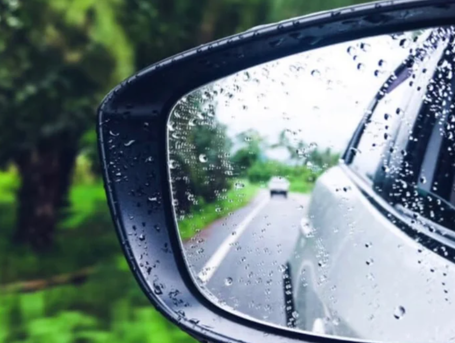
مرآة السيارة: مدى دقة عكسها للصورة الصحيحة
|
|
|
|
|
|
|
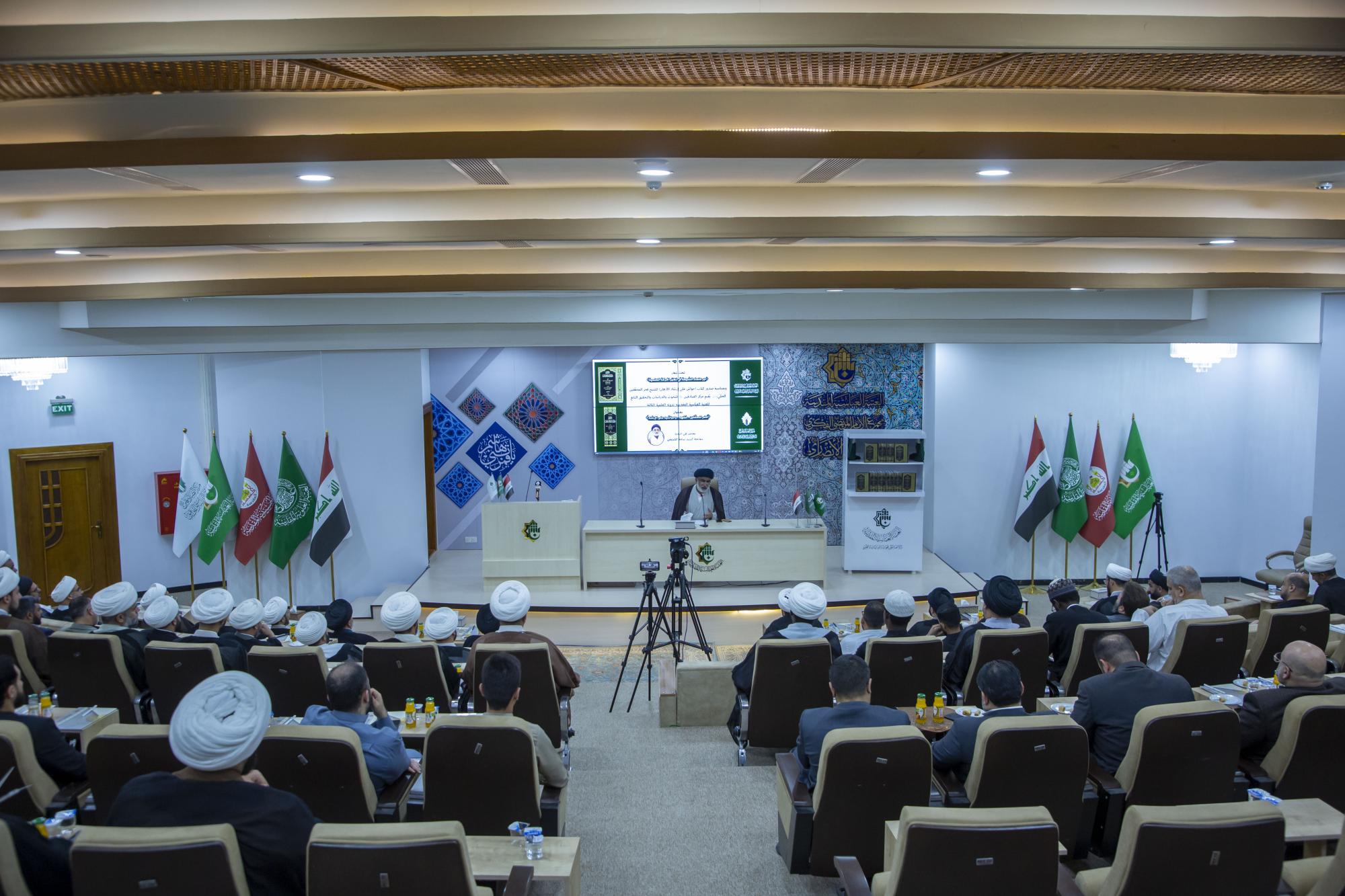
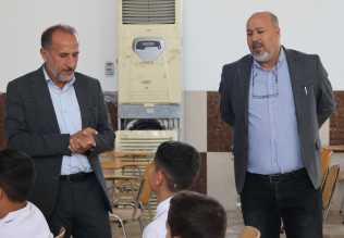
مركز الصادقين يعقد ندوته العلمية الثالثة عن دور علماء الشيعة في تطور العلوم
|
|
|